Cartographers
Overview

Introduction
Cartographers prepare maps, charts, and drawings from aerial photographs and survey data. They also conduct map research, developing new mapping techniques, and investigate topics such as how people use maps. They collect, evaluate, and interpret geographic information provided by geodetic surveys, aerial photographs, and satellite data. They research, study, and prepare maps and other spatial data in digital or graphic form for legal, social, political, educational, and design reasons. Photogrammetrists are specialized mapmakers wh...
Quick Facts
Median Salary
Employment Prospects
Minimum Education Level
Experience
Skills
Personality Traits
Earnings
According to the U.S. Department of Labor, the median yearly income in May 2023 for cartographers and photogrammetrists was $76,210 annually. The lowest paid 10 percent of this group earned less than $48,660 annually during that same time. The highest paid 10 percent, on the other hand, earned more than $113,540 annually. In the public sector, cartographers and photogrammetrists earned the foll...
Work Environment
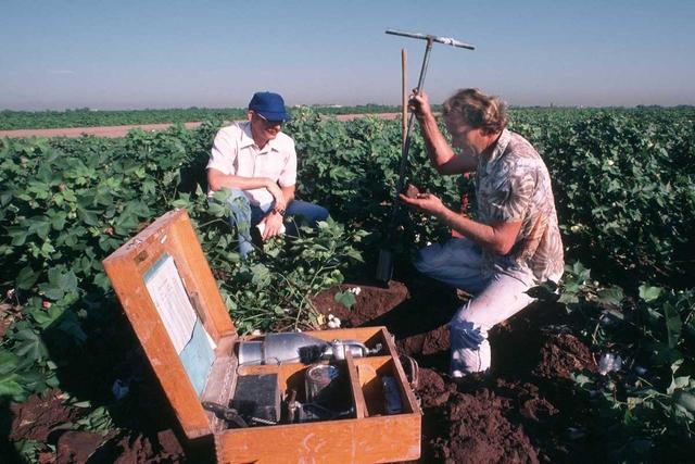
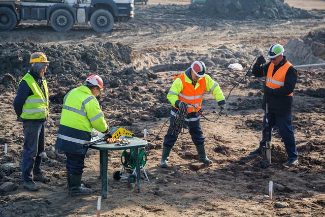
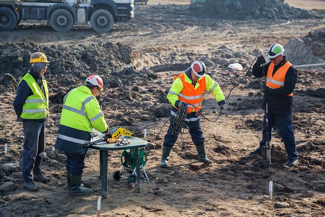
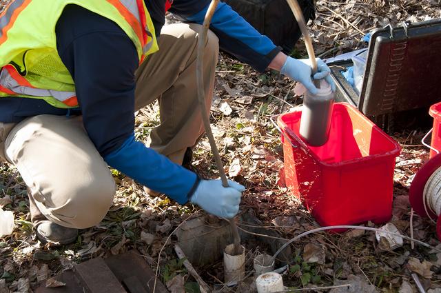
Cartographers work in office settings with drafting tables and computer-mapping systems. Most cartographers never visit the locations that they are mapping, but many do fieldwork to collect and verify data used in creating maps. The average workweek is 35 to 40 hours, although longer hours are occasionally required if a mapping project is on a deadline.
Slightly more than half of cartogr...
Outlook
The employment for cartographers and photogrammetrists is expected to grow faster than the average for all occupations through 2032. There are a number of factors that are contributing to this highly favorable outlook for cartographers and photogrammetrists. First, there is a growing need for updated maps for national security, management of natural resources, coordinating effective responses b...
