Remote Sensing Technicians
Overview

Introduction
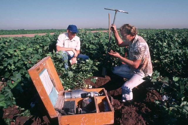
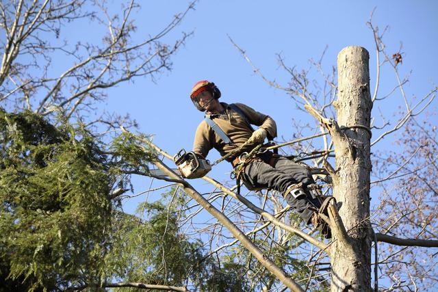
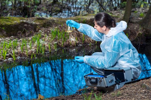
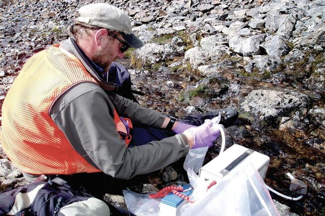
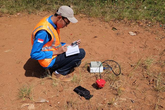
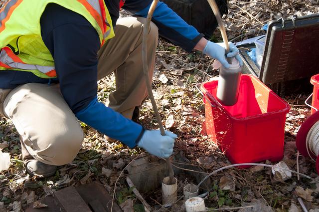
Remote sensing technicians assist remote sensing scientists and technologists in collecting geographical or geological field data. They work on projects in natural resources, urban planning, homeland security, and other fields. They help in the planning and development of mapping projects, calibrate remote sensing equipment and remotely sensed images, and prepare documentation and presentations such as charts and photographs.
Quick Facts
Median Salary
Employment Prospects
Minimum Education Level
Experience
Skills
Personality Traits
Earnings
Remote sensing and geographic information systems technicians earned salaries that ranged from $24,500 to $184,000 or more in April 2025, according to PayScale.com. They earned average salaries of $91,092.
Life, physical, and social science technicians (all other) earned a mean salary of $62,640 in May 2023, according to the U.S. Department of Labor. The lowest paid 10 percent earned $36...
Work Environment
Remote sensing technicians work indoors in offices that are clean and well lighted. They spend many work hours sitting at desks and looking at computer screens as they review and analyze data. The long hours spent analyzing data and studying details can be stressful on the eyes. Remote sensing technicians also may experience work pressure when working on projects that are for high-security area...
Outlook
The outlook is bright for remote sensing technicians. Private, commercial, government, and military employers will continue to need remote sensing technicians to gather and analyze information for a variety of purposes. Technicians will be in demand in industries such as agriculture, archaeology, environmental sciences, meteorology, engineering, urban planning, and water management. The data th...