Geographic Information Systems Specialists
Overview
Introduction
Geographic information systems (GIS) specialists are a subspecialty of geographers. They focus on the scientific theory of geographic information and analysis, and may research and develop new geographic information systems and applications. They combine computer graphics, artificial intelligence, and high-speed communications in the mapping, manipulation, storage, and selective retrieval of geographic data.
Quick Facts
Median Salary
Employment Prospects
Minimum Education Level
Experience
Skills
Personality Traits
Earnings
GIS specialists received average salaries of $62,290 in 2024, according to PayScale.com. Earnings ranged from $46,000 to $83,000 or more.
The U.S. Department of Labor (DOL) classifies the career of GIS specialist under the general category of cartographer. In May 2023, median annual earnings for cartographers were $76,210. Salaries ranged from less than $48,660 to $113,540 or more. The ...
Work Environment
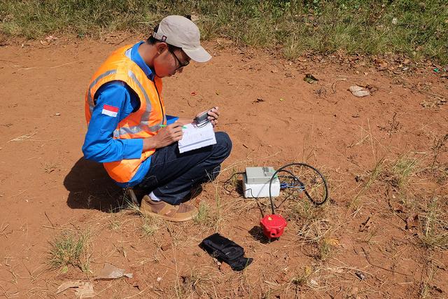
GIS specialists typically work in office settings. Geographic information systems usually consist of PC-based workstations with big screens. (Some applications also are available for Macs, but the majority are for PCs.) In an organization where GIS is used extensively, each person might have a GIS workstation at his or her desk. GIS technology is also being used on job sites in the form of hand...
Outlook
The U.S. Department of Labor predicts that employment for geographers, including geographic information systems specialists, will increase by 3 percent through 2033, but opportunities for those using geographic information systems will be better. The outlook for GIS specialists in environmental work, emergency services (fire and police rescues), energy, and homeland defense is strong. GIS maps,...


